Blue Mountain from Scenic Highway 281 Overlook
33.510248°N, -85.759876°W (Overlook)
Photo taken by Dan Bedore 27 March 2020.
|
This page discusses facilities located from the Cheaha Trailhead / 281 northbound to County Road 24. |
 Blue Mountain from Scenic Highway 281 Overlook 33.510248°N, -85.759876°W (Overlook) Photo taken by Dan Bedore 27 March 2020. |
|
For the panorama above, I tried to find a good topo map for comparison. It is on 7½' minute Quads Cheaha on the left (S) and Oxford on the right (N). The section 7 map of the USFS 2014 Pinhoti Map is probably the best option, as it shows most of the Blue / Cheaha Ridge. The photo is taken from the Scenic Highway 281 Overlook in the Northwest Corner of Section 36, T17S, R8E, atop a 1,480' rise along Horseblock Mountain on that Pinhoti map and the Oxford Quad. The high mountain to the left, SW, is Cheaha, then Bald and Blue, while at the right, NW, is the Pinhoti crossing of the CCC road, but not as far as the Hillabee Creek Pinhoti ford. The foreground valley is the Hillabee Creek drainage. The northbound Pinhoti runs this side of Cheaha Mountain to Blue Mountain Shelter and Bald Rock Trail, but then generally on the far side of Blue Mountain. |
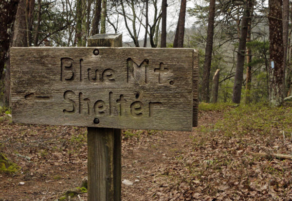
 Sign on Pinhoti: ← Blue Mt. Shelter Photo taken by Dan Bedore 28 March 2020. 33.494639°N, -85.799614°W |
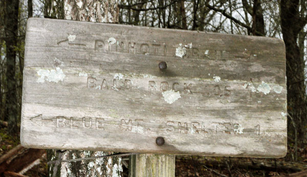
 Pinhoti - Bald Rock Trail Sign Front Photo taken by Dan Bedore 28 March 2020. |
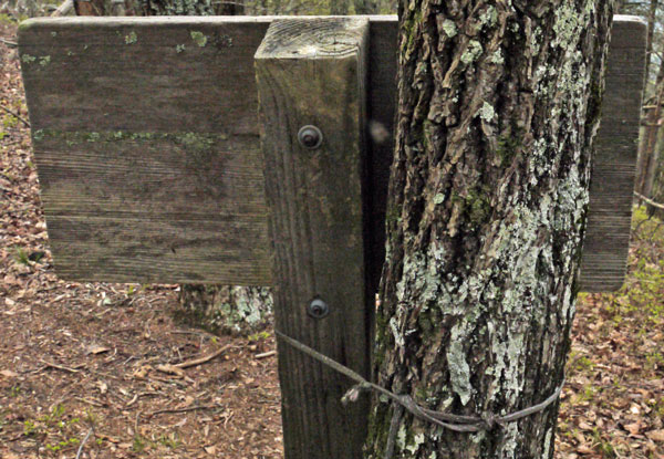
 Pinhoti - Bald Rock Trail Sign Back Tied to a tree with a string. Photo taken by Dan Bedore 28 March 2020. |
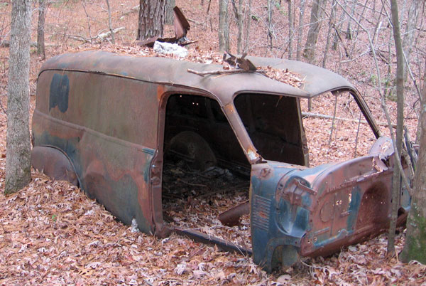
 Old Van along Pinhoti Photo taken by John Calhoun 2 December 2009. |
| John Calhoun noticed this van was missing 10 January 2012. Solo once planned to make it a Pinhoti shelter. The floor was rusty and jagged, but a wood floor would have made this a great 2 person shelter. Every hike and trail maintenance outing used to stop here for pictures, making it one of the most photographed spots on the Pinhoti. It was north of Zulu Canyon and south of the powerline and Hillabee Creek ford, 7.5 miles from the Cheaha Trailhead. |