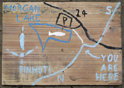
Morgan Lake Map Sign
Photo by John Calhoun
|
This page discusses the Pinhoti between Co24, US431, & I20. |
Pinhoti Trail Mtce. ATCA Section. Sun 06/23/13
I finished clearing the trail from Co24, Abel Gap Rd., north to the switchback near Morgan Lake then moved to FS 518 off the Scenic view drive where I also finished clearing a small part of the trail just south of this crossing. I also touched up the blazes at this crossing. (A sign showing the Morgan Lake Falls trail would be a good idea).

Morgan Lake Map Sign
Photo by John Calhoun
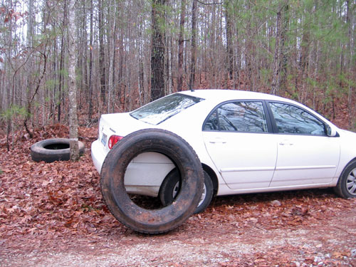
Tire Clean Up, Forest Road 518, Scenic Drive 281
Photo by John Calhoun
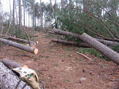
Wind Storm South of I20
Photo by John Calhoun
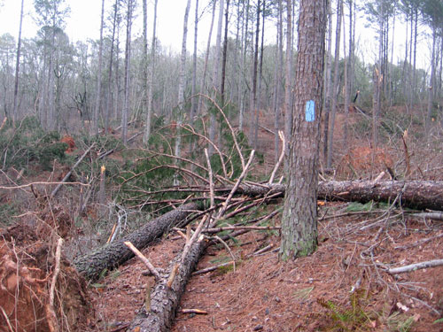
Windstorm Damage South of Interstate Highway 20
Photo by John Calhoun
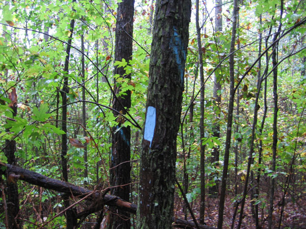 Timber Treatment Boundary Photo taken by John Calhoun 15 October 2009. °N, °W |
|
Oct. 15, 2009, Thursday, Pinhoti Trail, Pioneers Section south of I-20 I used my Fiskar Loppers to thoroughly clear the annual growth starting just south of I 20 and continuing to where the trail comes near the Scenic Drive about 1 mile south of I 20. I noticed many trees marked with a diagonal blue spray paint stripe about head high (one tree with the Pinhoti blue blaze was actually striped!). There were a few marked with orange spray paint too. Does this mean the area will be logged? If so, there are several that are marked which are right along the trail and many that are within the 200 foot corridor protection zone mentioned in the MOU on page 2. Please see the attached pictures and please respond. If the timber in this area will soon be cut, I see no point in continuing efforts to clear the trail. |