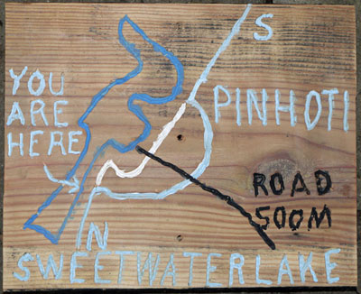
Sweetwater Lake North Map Sign
Thursday, October 17, 2013
Photo by John Calhoun
|
This page discusses Section 10, Pine Glen to Pink E Burns. Laurel Shelter has its own page. |
|
33.775615°N, -85.564049°W: Shoal Creek Church 33.787170°N, -85.565136°W: +FR500 Pinhoti 33.832498°N, -85.624862°W: Pink E Burns Trailhead |

Sweetwater Lake North Map Sign
Thursday, October 17, 2013
Photo by John Calhoun
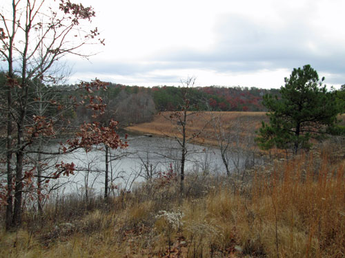
Sweetwater Lake
Saturday, December 3, 2016
Photo by John Calhoun
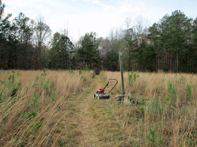
Sweetwater Lake Earthen Dam
Tuesday, November 17, 2015
Photo by John Calhoun
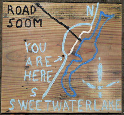
Sweetwater Lake South Map Sign
Thursday, October 17, 2013
Photo by John Calhoun
|
Pinhoti Trail, ATCA section, with YCC group. Thurs., 06/27/13, Sweetwater Lake area. I met Lesley, Mandy P, a group of 7 young Youth Conservation Corps adults, and Michell, with an intern, and a photographer at the USFS Heflin station at 830am. A little after 10 am we hiked around the original high trail around Sweetwater lake and back on the fisherman's trail which stays near the lake shore and often floods in the winter and spring. A few minutes after lunch, we started working on the trail where it crosses FS500-M, the access road to the lake. One crew did side hill digging and raking southward and one crew dug out and installed rock steps. I took lots of pictures, or so I thought. When I got home I tried to pull out the card from my camera. It wasn't there. It was in the computer where I'd left it a few days ago! Sorry about that and also, I didn't write the names of any one in the group. We got a lot done, perhaps building 3 to 4 hundred yards of trail. Many thanks to all the folks who did that hard work. My total time = 9 hrs., drive time = 2.3 hrs., distance = 125 miles, 0.1 mile of trail built. |
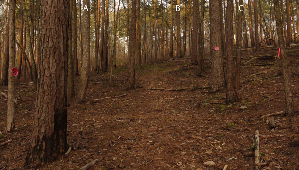 Pinhoti - Horse Trail Intersection Photo taken by Dan Bedore 27 March 2020. °N, °W |
|
• At left is a red plastic plate with an X, indicating horses should not travel to the left. • On tree marked A, and the one to the left, are blue spray paint slashes, indicating a timber treatment boundary. • On tree marked B are an inverted white horseshoe Ω and a red plate. • Between B and C is a tree marked for horses with a red plate. • On tree C is a blue Pinhoti Double Turn Right Blaze. • To the right is a red plastic plate with an X, indicating horses should not travel to the Right. ◉ Surely we can find a more aesthetically pleasing way of marking this. Perhaps wood signs? |
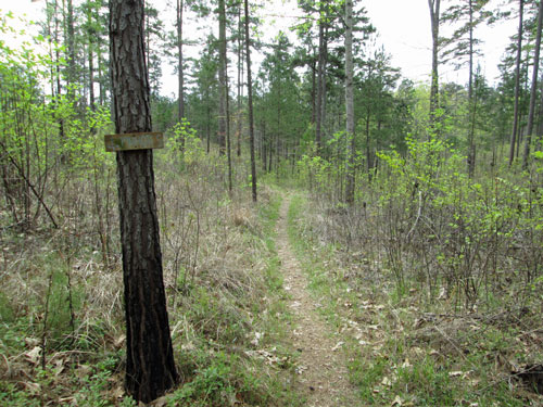
Woodpecker Farm North
Friday, April 15, 2016
Photo by John Calhoun
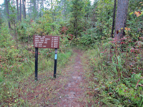
Sign, Coleman Trailhead
Sunday, October 4, 2015
Photo by John Calhoun
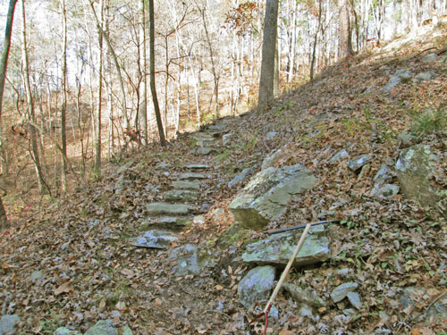
YCC Rock Steps
Thursday, November 26, 2015
Photo by John Calhoun
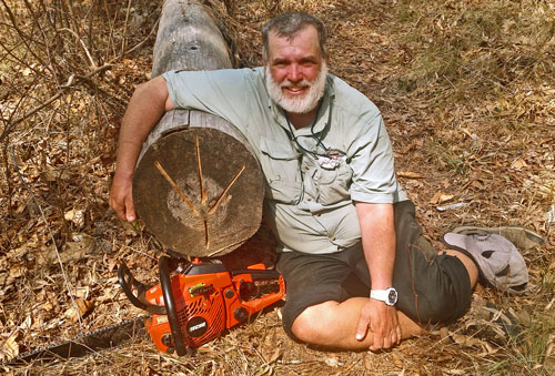
Dan with Sawn Tree
Photo by John Calhoun
|
Pinhoti Trail Mtce., w/ AHTS Metro Group, Choccolocco dam area, Sat. 11/01/2014 Hayward & Karen W came and picked me and much gear up at our home at 6:45am and drove us to Pinky Burns Trailhead, then to the Choccolocco Shelter area. Brandon, Sam, and ? restored several parts of the treadway along the north shore of the lake then worked on parts south of the dam too. Hayward, Karen, Jill & I cleared the brush and several small dead-falls along the north slope then worked southward for perhaps 3/10ths of a mile. Sam reset the signpost near the dam also. We met a family with several children and also a lone south bound young man who got a little confused south of the dam. We need to put 2 sign posts in that area. There's also a lot more clearing to be done in the first 1.5 miles south of the dam. Many thanks to all those who helped today and also to Greg A for his excellent trail status report. John Calhoun |
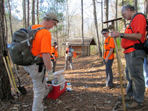 Choccolocco Shelter Saturday, December 5, 2015 Photo by John Calhoun |
| Note the cooler full of trash. The cooler had been there since the bachelor party of 5 October 2013, and people had been complaining about trash since the JSU backpacking class of 17 May 2013. See the 2012-14 shelter log book. |